About the project
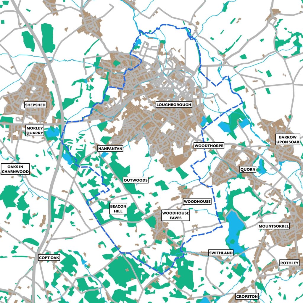
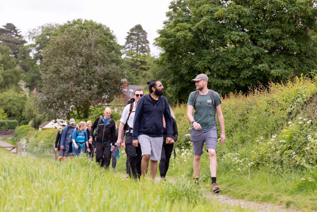
Project summary: Our project aims to create an interactive, inclusive, and accessible digital trail, using StoryMap, that will link Loughborough Town with Charnwood Forest Geopark, via Loughborough University. This tool will provide members of the community with an opportunity to explore their relationship with local history and the natural environment, whilst living healthy and active lives.
Impact Summary
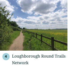
The LOVE project delivered a range of digital, engagement, physical, and partnership outcomes, including a comprehensive ArcGIS StoryMap (Loughborough Round Trails Network) featuring 12 public walking routes, including some accessibility variants, supported by a Strava group and a soon to be available printable route leaflet. Community engagement included an in‑person consultation event in Loughborough and a heritage survey yielding 34 responses. Physical outputs in progress include the introduction of a Loughborough University campus information hub and wayfinding/interpretation panels to support on‑site navigation, which is expected to be implemented and officially launched later in 2026. Institutionally, the project has been showcased through Charnwood Forest Geopark’s research pages and aligns with the University‑Geopark collaboration agreement, strengthening community links as the Geopark advances toward UNESCO Global Geopark status.
The project has generated multifaceted pathways to impact spanning academic, societal/community, cultural, economic, and environmental & sustainability domains, including new interdisciplinary research collaborations and integration into the TOWN Observatory framework (academic), meaningful community participation in shaping heritage routes and improved accessibility and representation of local narratives (societal/community), activation of Loughborough’s cultural assets through linked heritage trails and forthcoming interpretation infrastructure (cultural), early signs of supporting local footfall and aligning with regional tourism and investment initiatives (economic), and promotion of low‑carbon, transit‑aware movement alongside improved public understanding of local geodiversity and biodiversity (environmental & sustainability).
Future impact could be evidenced through:
– The project’s methods being adopted in other university or council initiatives.
– TOWN Observatory users (e.g. local community groups/councils) drawing on trail data for planning.
– Trail route design changes shaped by public feedback.
– Increased StoryMap and route engagement, and uptake by schools or heritage groups.
– Partnerships with local institutions and, once installed, usage of new on-campus interpretive hub or panels.
– Business testimonials and joint promotional activity with Town Deal partners.
– Inclusion of the trails in active‑travel plans, educational use of geoscience content, and documentation supporting UNESCO‑aligned reporting.
Project team and roles
- Dr Guy Tallentire (Lead Investigator) Department of Geography and Environment
- Dr Helen Glanville (Co-Investigator) Department of Geography and Environment
- Dr Matthew McCullock (Co-Investigator) Department of International Relations, Politics and History
- Dr Jack Matthews (Co-Investigator) Geoheritage Conservation and Interpretation Officer, Charnwood Forest Geopark
- Rich Fenn-Griffin (Co-Investigator) Assistant Gardens Manager and Biodiversity Lead
- Paulina Loreta Jara Osorio (Research Associate) Department of Geography and Environment
- Saskia Huxham (Research Associate) Department of Geography and Environment
See also: https://www.charnwoodforest.org/research/love/